West Seattle, Washington
17 Saturday
The National Weather Service has just added two days to the Heat Advisory alert – originally set to expire tomorrow night, now in effect through Friday night. The NWS says temperatures will cool a bit on Thursday but then rise again Friday. Today’s official high at Sea-Tac was 90, so this year has tied the record for most 90-or-warmer days in a year, 12 … so far.
 (Sunday night sunset, photographed by Mike Burns)
For the fifth time since late July, the National Weather Service has issued a “Heat Advisory” alert for our area. This time it’ll be in effect noon Tuesday through 9 pm Wednesday. Today we’re already into the mid-80s, and the next two days could be just a few degrees warmer, but nonetheless this is hotter than usual for this time of year – normal high is 76.

Thanks to everyone who sent photos of tonight’s splashy sunset – hot pink on a not-so-hot night. The photo above is from David Delgado; the one below, from Ken Maier:

Though today’s high, 81, was only four degrees above normal, the next two days are expected to be notably warmer – then a big cooldown Friday.
 For the third consecutive week, a two-day heat wave is in the forecast, and it’s generated a Heat Advisory alert from the National Weather Service. The alert is for noon tomorrow (Wednesday, August 24th) to midnight Thursday night; temperatures could get into the low 90s. Because of the hot weather, the two local branches of the Seattle Public Library that are not, or not fully, air-conditioned will change their hours: The Southwest (9010 35th SW) and West Seattle/Admiral (2306 42nd SW) branches will both open early tomorrow, at 10 am, and will both be closed Thursday.
 (Photo by Jan Pendergrass)
You probably won’t be sad to hear that today’s clouds kept the official Sea-Tac high from hitting the 90s, which would have been a record-tying 12th day in the 90s in one year. It stopped at 87. The clouds did bring a colorful sunset – thanks to those who sent photos.
 (Photo by Carol Ann Joyce)
There was one record high at Sea-Tac – the highest low for this date, 68 degrees, previous record 61.
 (Added: Photo by Hana Alishio)
 >small>(Before this morning’s short-lived fog, sunrise colors – photographed by Stewart L.)
By this time tomorrow, we’ll be under another Heat Advisory alert, decreed by the National Weather Service with two days of 90s expected instead of one. The alert is for noon Wednesday through midnight Thursday night. If we really do see two days in the 90s, that’ll tie the record for 12 90-or-more-degree highs in a year (set in 2015),
Because of the forecast, the Seattle Public Library is already planning to open the two A/C-lacking local branches – West Seattle (Admiral) and Southwest – early on Wednesday and Thursday, at 10 am. (Early closure is likely but not yet announced – watch this page.) Anybody else with planned changes (businesses, etc.), please let us know – westseattleblog@gmail.com – thank you!
 (Photo sent Saturday by David White)
We might see 90-degree weather again this week. No alerts yet but the newest National Weather Service forecast suggests the high on Thursday could reach the lower 90s. Every other day this week has 80s as a possibility. “Normal” high right now would be upper 70s. The NWS says record number of 90+-degree days in a year is 12, set in 2015; if Thursday does get to 90 or higher, that would be the 11th this year.
6:03 AM: Good morning! It’s Tuesday, August 9th.
WEATHER
Today’s forecast is back closer to normal – sunny after some morning clouds, high near 80.
FERRIES, BUSES, WATER TAXI
Ferries: WSF is on the 2-boat schedule for Fauntleroy-Vashon-Southworth. Check here for alerts/updates.
Metro buses are on their regular weekday schedules; watch @kcmetroalerts for word of reroutes/trip cancellations.
The West Seattle Water Taxi is on its regular schedule.
ROAD WORK
The crews doing soil cleanup at the ex-encampment site along Andover between 26th and 28th were expecting to be back this morning/early afternoon, so Andover may be closed again.
BRIDGES AND DETOUR ROUTES
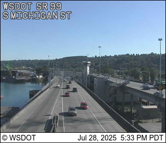
870th morning without the West Seattle Bridge. 33 days until the week SDOT hopes to reopen it.
Low Bridge: Automated enforcement cameras remain in use; restrictions are in effect 5 am-9 pm daily – except weekends; the bridge is open to all until 8 am Saturday and Sunday mornings. (Access applications are available here for some categories of drivers.)

1st Avenue South Bridge:
South Park Bridge – camera malfunctioning, as are a few others in eastern West Seattle (still no estimate on when they’ll be fixed)
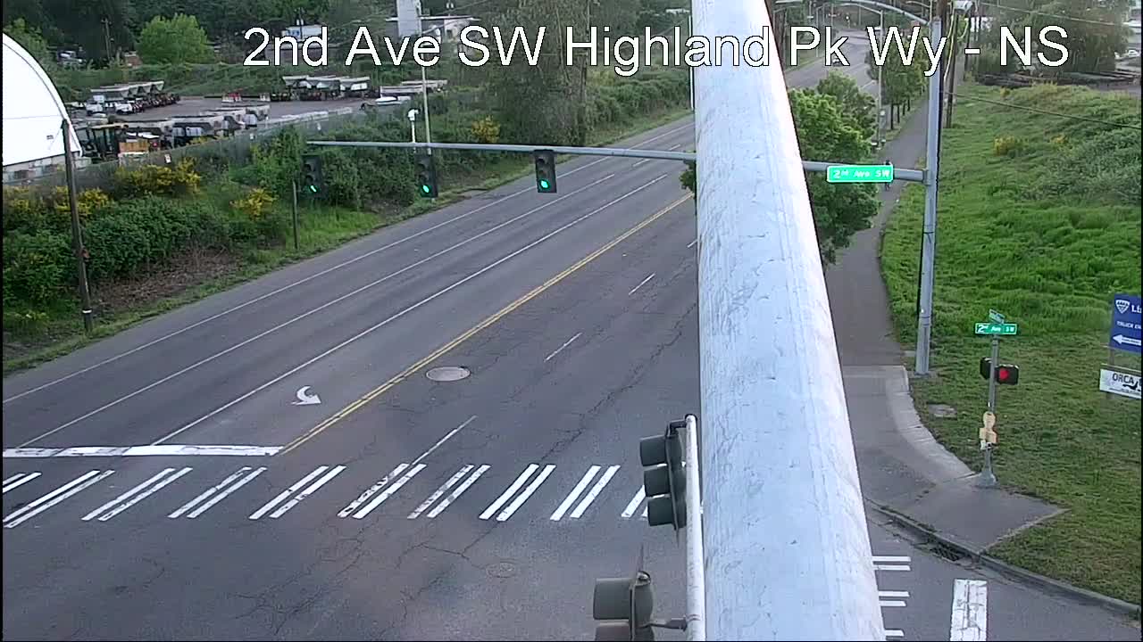
Highland Park Way/2nd SW (one of four recently installed cameras):
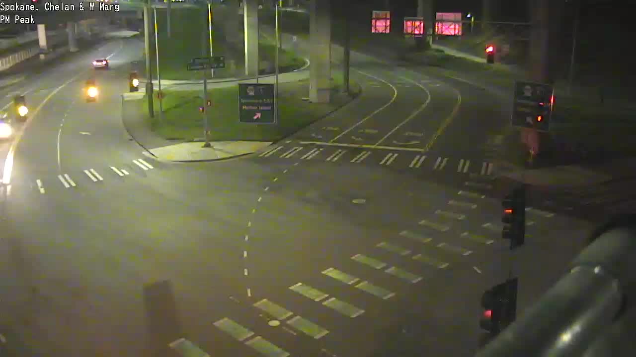
The 5-way intersection (Spokane/West Marginal/Delridge/Chelan):
Are movable city bridges opening for vessels? Check the @SDOTBridges Twitter feed; 1st Ave. S. Bridge openings are tweeted by @wsdot_traffic.
All city traffic cams can be seen here, many with video options; West Seattle and vicinity-relevant cameras are also on this WSB page
Trouble on the roads/paths/water? Please text or call us (when you can do so safely) – 206-293-6302.

Just as the mini-heat wave was officially ending with the expiration of the weather alert, the sky filled with sunset colors. Thanks for the photos – the one above, overlooking Luna/Anchor Park, is from Jan Pendergrass, while the next one is from James Bratsanos.

Today’s official area high was 91 degrees; “normal” for this date is 79, and tomorrow should be in that vicinity.
The National Weather Service has shifted the timing of its Heat Advisory alert for our area. Now it’s set to take effect at noon Sunday and continue until 9 pm Monday. Though the NWS says temperatures might reach the 90s the next two days, this afternoon has only been 80ish.
 (Photo by Marc Milrod)
Though the mini-heat wave ahead doesn’t look anything like our recent almost-weeklong 90+-degree streak, a weather alert has been announced: The National Weather Service has a Heat Advisory in effect noon Saturday through 9 pm Sunday. The current forecast would seem to suggest Monday will be hot too, but we’ll see how it goes.

Thanks to Lorabeth for that photo of a storm cell visible from Admiral about an hour ago. Since then, at least part of the peninsula has seen a brief rainshower! @WestSeaWX says it might not be the only one we see before the day’s out.

Just in case you had any doubt – that map from the National Weather Service website is proof, the heat alert really did expire at 9 pm and closer-to-normal temperatures are on the way. This after a two-record day – the sixth consecutive day with a 90+-degree high, and the hottest recorded high for this date (95, 16 degrees over the normal high for this date). The NWS says, “A weak trough and stronger onshore flow will bring cooler weather on Monday although still slightly above normal – high in the 80s.”

Thanks to Chris Frankovich for the beautiful dusk view, following a record-tying day – fifth consecutive day with a high past 90. If the temperature passes 90 again Sunday – as the forecast suggests it might – that’ll be a record-setting sixth day. But the Excessive Heat Warning alert is still set to expire at 9 pm Sunday, and Monday is supposed to be close to the upper-70s norm. The quest to keep cool led to a busy day at Alki Beach, as photographed by David Hutchinson:

If the forecast holds, next Thursday might not even get to 70.
 (Sunday sunset, photographed by Lynn Hall)
As hot weather approaches, the National Weather Service has changed the alert level again. Now it’s an Excessive Heat Warning, in effect from noon Tuesday to 4 pm Friday, and temperatures in the upper 90s are possible. (“Warning” is the highest alert level, compared to “watch” or “advisory,” both of which were issued earlier.) The city has sent out a list of where you can go to cool off if you need to. For West Seattle, the Senior Center (California/Oregon) is air-conditioned and will be open weekdays 8:30 am-4:30 pm; the Delridge and High Point branches of the Seattle Public Library both are fully air-conditioned – both are open 1 pm-8 pm Tuesday, 11 am-6 pm Wednesday and Thursday, while Delridge is closed Friday but High Point is open 11 am-6 pm. Got a restaurant, bar, coffee shop, or other facility that will be air conditioned and open for public use? Let us know and we’ll add it to the list – westseattleblog@gmail.com – thank you!
P.S. Today’s official high = 87.
 (Tetherball at sunset, photographed by Anjanette Nelson-Wally)
4:34 PM SUNDAY: The National Weather Service is still predicting a heat wave Tuesday through Friday, and this afternoon it upgraded the alert level to Excessive Heat Watch. The alert is for Tuesday afternoon through Friday night; the forecast still suggests Wednesday and Thursday are likely to be the hottest days, possibly into the mid-90s.
MONDAY MORNING UPDATE: The alert is now a “heat advisory,” kicking in at noon Tuesday.
We’ve been hearing for days that hot weather, likely in the 90s, will return next week. Now the National Weather Service has issued an alert about it. Here’s the Special Weather Statement saying 90+-degree temperatures are “likely” Tuesday through Friday, and that could raise the risk of heat-related illness for people and pets.
 Thanks for the tip! Two of the peninsula’s Seattle Public Library branches are closed for the rest of the day because of the hot weather: West Seattle (Admiral), which is not air-conditioned, and Southwest, which is partly without A/C. The SPL announcement notes, “Book returns remain open and holds will be extended.” Both are expected to reopen tomorrow, since the heat is supposed to subside by then, with Tuesday’s high expected to be around 70.

Just in time for what’s expected to be the finale of this mini-heat wave, two more local wading pools open tomorrow: EC Hughes (above) at 2805 SW Holden will be open noon-7 pm Mondays, Tuesdays, and Sundays through August 21st, and South Park at 8319 8th Ave. S. will be open noon-7 pm Mondays, Tuesdays, and Wednesdays, Lincoln Park at 8011 Fauntleroy Way SW is already open daily (except for cool weather) noon-7 pm daily through Labor Day, and Delridge at 4501 Delridge Way SW will be the last to open, noon-5:30 pm Wednesdays, Thursdays, and Fridays starting this week. One more option for little ones to stay cool: Highland Park Spraypark at 1100 SW Cloverdale, open daily through Labor Day, 11 am-8 pm. See the citywide schedule here.
 (WSB photo – Saturday beachgoers on Alki)
4:28 PM: The National Weather Service‘s afternoon forecast update is in, and it’s still projecting a high in the 90s on Monday, with the heat advisory continuing in effect until late Monday night. Tuesday might not even get out of the 60s. So what about the Fourth of July weekend? The NWS says it’s still too soon to predict with confidence, but they’re tentatively forecasting clouds for at least part of the weekend.
5:26 PM: Today’s high so far at Sea-Tac is 90 degrees – but that’s cool compared to last year, when the June 26th high was 102.
 (Recent Alki sunset, photographed by Jen Popp)
If you were having a hard time believing it’s really going to be hot in a few days, here’s something to make it more real: A National Weather Service “Heat Advisory” alert, in effect noon Saturday to 11 pm Monday. Temperatures could get into the 90s Sunday and Monday. Nothing like a year earlier, though – Tuesday will be the first anniversary of the record-smashing 108-degree Seattle high.
 (Photo by Gene Pavola)
Wish we could say the sudden burst of color at sunset tonight was a preview of a bright holiday weekend ahead. But so far, the National Weather Service‘s forecast looks cloudy and cooler, even rainy at times. However, there’s one point from which you can take solace:
 (Photo by Adam Gosztola)
On many recent days, the weather has tended to be better than forecast – today, for example, brought plenty of unpredicted sunshine. So you can hold onto hope that the Memorial Day weekend might not be as gray as predicted.

As noted in this morning’s traffic/weather watch, we’re under a Wind Advisory alert until 8 pm, with wind out of the southwest that could gust up to 45 mph. Most of the power trouble so far has been elsewhere in the city, until about 20 minutes ago, when a tree took out power to more than 20 customers in south Morgan Junction/west Gatewood. If you see/experience weather-related trouble, once you’ve reported it to authorities, please let us know – text or voice, 206-293-6302 – thank you!
| 10 COMMENTS